Highlights for the BEUC 2018!
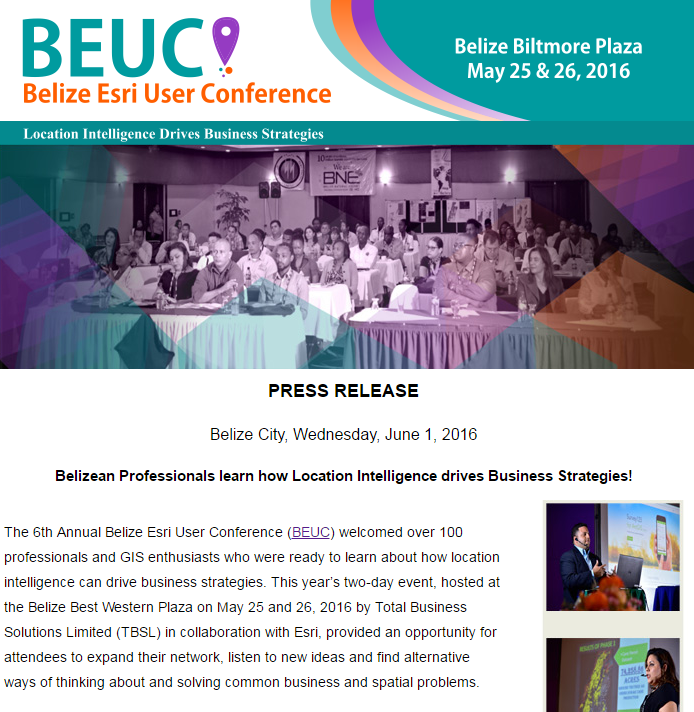
BEUC 2018 Conference
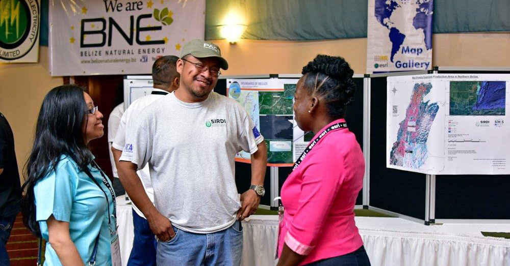
BEUC 2018 Highlights
What our attendees say about the BEUC!
Belize’s Progressing Geo-Empowerment.
It’s a great way to experience Belize’s progressing geo-empowerment. Also, students with an interest in the science can come across new opportunities that they might have missed had they not attended. Lastly, the BEUC provides the perfect opportunity to connect with GIS professionals and organizations from across the country and the region.
Robert HernandezBelize Electricity LimitedPower of GIS
[The BEUC] opens your eyes to what ESRI product are available, and how it can be used to use data more efficiently. This is an event that will make a difference in the way ArcGIS is thought of. Knowing that all this power of GIS is available here in Belize, and is being used in our country.
Sgt. Jose TillettBelize Police DepartmentTake advantage
It’s a conference that aims towards informing the public about all the ways in which GIS can be utilized within the country, and also it helps those already using GIS to be updated and how they can take advantage of the newer softwares and equipments.
Devon SaldanoSugar Industry Research & Development Institute (SIRDI)
Belize’s Progressing Geo-Empowerment.
It’s a great way to experience Belize’s progressing geo-empowerment. Also, students with an interest in the science can come across new opportunities that they might have missed had they not attended. Lastly, the BEUC provides the perfect opportunity to connect with GIS professionals and organizations from across the country and the region.
Power of GIS
[The BEUC] opens your eyes to what ESRI product are available, and how it can be used to use data more efficiently. This is an event that will make a difference in the way ArcGIS is thought of. Knowing that all this power of GIS is available here in Belize, and is being used in our country.
Take advantage
It’s a conference that aims towards informing the public about all the ways in which GIS can be utilized within the country, and also it helps those already using GIS to be updated and how they can take advantage of the newer softwares and equipments.
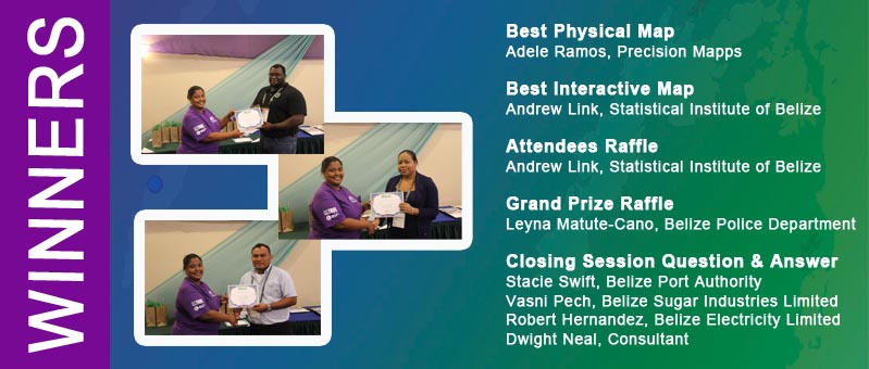
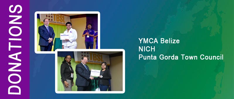
Giving Back - Winners and Donation Recipients












 TBSL is an established Belizean IT solutions company that provides high quality and cost-effective business solutions to the corporate market with a management team of 20 years of GIS and business solutions experience combined.