

Eligibility Requirements
Present at the BEUC 2020. We are looking for real-life stories about how you are using ArcGIS to solve complex issues that deliver benefits to your organization and Belize.

Application Deadline
Don’t miss out on this unique opportunity to inspire your peers with your GIS success story!
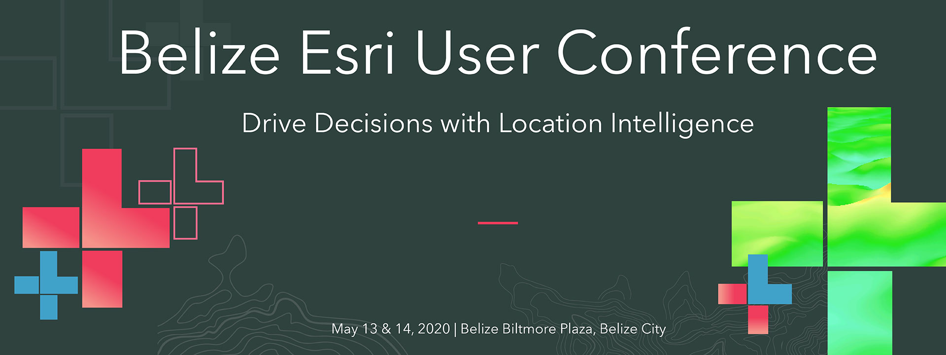
Application Deadline: March 24, 2020

How it works
A committee will evaluate all abstracts and make selections based on topic, content, and time available. All authors will be notified after the selection process.
Tips and Guidelines
We invite all users who are interested in sharing knowledge and helping others use ArcGIS as a platform for national development. Show how you are using state-of-the-art solutions today to make better decisions for tomorrow.
Kindly submit your abstract via email as a Microsoft Word attachment. Only one abstract may be submitted per primary author.
Inclusions:
- Author/presenter name(s)
- Photo of Presenter – High quality, face front, passport type
- Presentation title (10 words or less)
- Company name
- Complete address and phone number
- Brief presenter biography (100 words or less)
- Abstract of 250 words or less for use in the online agenda
The information you submit will be published on our website and agenda. All papers and presentations must be noncommercial. At no time is it permissible for presenters to use their time slot to advertise or promote a product, service, or company.

Presentation Topics
Here are some of the topics we are interested in this year.
Application of Geospatial Technologies in Environmental Management
- Natural Resources Management
- Climate Change
- Earth Observations
- Application of GIS in Marine Science
- Evaluation, Management and Mitigation of Beach Erosion
- Flood Risk Modelling & Mitigation (e.g. Coasts, Rivers, Watersheds, etc.)
Application of Geospatial Technologies to Enable Sustainable Development
- Oil, Gas and Renewable Energy
- Application of GIS in Forestry
- GIS in Agriculture
- Assessing Sustainable Development Programs
- Fisheries Management
- Land Use Planning
Managing How Humans Impact the Community
- Disaster and Emergency Response Planning using GIS
- Land Management and Administration
- Transportation and Public Works
- Crime, Safety and National Security
- Citizen Engagement
- GIS in Public Health and Disease Control
- GIS for Human Geography (e.g. Census, Elections, etc.)
Technological Advances in GIS
- Geospatial Application Development
- Mobile & Web GIS
- Remote Sensing, Photogrammetry & LiDAR
- Drones & UAVs (Unmanned Aerial Vehicle)
Governance, Education and the Future of GIS
- Spatial Data Infrastructure
- Data Management
- GIS Policy Making & Governance
- GIS in Education & Academia: Certification vs Certificate vs. Diploma vs. Degree
Business Intelligence
- Business Decision Support with GIS
- GeoMarketing & Sales Campaign Management
- GIS Application in Regulatory Compliance
- Crowdsourcing
- Event Planning using GIS (e.g. National events, parades, etc.)
- Integrating Geolocation to Business Workflows
- Smart Cities
- GIS to support Utilities Services and Operations
Questions to be Answered

What problem
did you solve with GIS?

What difficulties did you overcome
to solve your department’s problems?

What advantage
did GIS give you?

What are your findings
or results?

Did you find a more
useful way to do something?

How can this project
be useful for the audience?
Submission Guidelines
Be clear
Ensure your abstract reflects your presentation. Nothing upsets attendees more than signing up for a session that’s not as advertised.
Be original
Attendees want to see new presentations that cover the latest innovations in technology. Take the time to create well-written titles, abstracts, and outlines.
Be enthusiastic
Make sure your content is not only relevant but also exciting. What invaluable information will you share during the session?
Be educational
Be sure your proposal doesn’t sound like a sales pitch but rather an exciting opportunity to learn something new.
Be precise
Who’s the target audience? What products or topics does this session cover? What roles specifically will benefit from this session?
Helpful Tips
Focus on Esri technology
The core focus of your presentation should detail how you’ve leveraged Esri technology to overcome a challenge and realized success in your project.
Be specific
Provide any pertinent information that will help us understand your selection of a discipline. This will help us determine the appropriate topic category for your presentation during the selection process.
No product promotion allowed
All papers and presentations must be noncommercial. At no time is it permissible for presenters to use their time slot to advertise or promote a product, service, or company.
Don’t miss out on this unique opportunity to inspire your peers
and conference attendees with your GIS success story!
Submit Your Abstract
How to send your presentationSubmit Your Abstract
Send your presentation to the email below:
![]()
Give us a call
Support is just a call away!Give us a call
Get in touch!
(501) 223-6807
Other contact options
Contact us on WhatsAppConnect on WhatsApp
Send us a message via WhatsApp
(501) 605-4633
 TBSL is an established Belizean IT solutions company that provides high quality and cost-effective business solutions to the corporate market with a management team of 20 years of GIS and business solutions experience combined.